SXP RiskMap
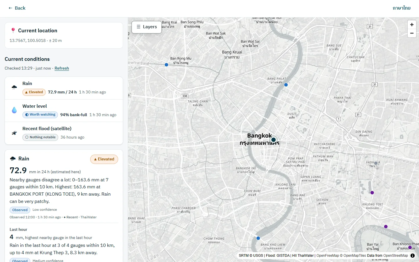
Check flood and terrain information around a place in Thailand, from public sources, with the source and time of every figure.
Why it exists
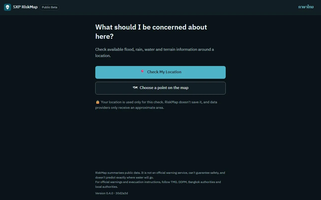
Water data from several agencies sits in different places. RiskMap puts it on one screen and says plainly that it is not an official warning service.
Where it stands
Open as a reduced public beta, version 0.4.0. Rain, river-level and canal readings are switched off for now; satellite flood, past-flood and terrain information still work.
What it does
- Labels every statement as observed, historical or derived, with its source and time
- A map with data layers, in Thai and English
- Your location is not saved, and data providers receive only an approximate area
What it does not do
- Not an official warning service
- No house- or street-level flood depth, and no promise that a place is safe
- Rain, river-level and canal readings are off in this version